 France
 Geography: Geography
Location
Western Europe, bordering the Bay of Biscay and English Channel, between Belgium and Spain, southeast of the UK; bordering the Mediterranean Sea, between Italy and Spain
Geographic Coordinates
46 00 N, 2 00 E
Map References
Europe
Area
Total: 551,500 sq km
Land: 549,970 sq km
Water: 1,530 sq km
Country Comparison to the World: 45
Area Comparative: slightly more than four times the size of Georgia; slightly less than the size of Texas
Land Boundaries
Border Countries (8): Andorra 55 km, Belgium 556 km, Germany 418 km, Italy 476 km, Luxembourg 69 km, Monaco 6 km, Spain 646 km, Switzerland 525 km
Total: 2,751 km
Coastline: 3,427 km
Maritime Claims
Territorial Sea: 12 nm
Contiguous Zone: 24 nm
Exclusive Economic Zone: 200 nm (does not apply to the Mediterranean Sea)
Continental Shelf: 200-m depth or to the depth of exploitation
Climate
Generally cool winters and mild summers, but mild winters and hot summers along the Mediterranean; occasional strong, cold, dry, north-to-northwesterly wind known as the mistral
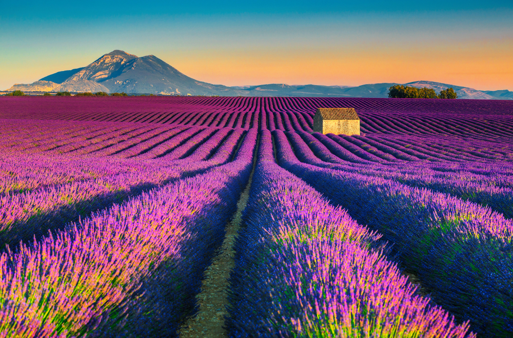
Terrain
Mostly flat plains or gently rolling hills in north and west; remainder is mountainous, especially Pyrenees in south, Alps in east
Elevation
Mean Elevation: 375 m
Lowest Point: Rhone River delta -2 m
Highest Point: Mont Blanc 4,810 m
Note: To assess the possible effects of climate change on the ice and snow cap of Mont Blanc, its surface and peak have been extensively measured in recent years; these new peak measurements have exceeded the traditional height of 4,807 m and have varied between 4,808 m and 4,811 m; the actual rock summit is 4,792 m and is 40 m away from the ice-covered summit
Natural Resources
Coal, iron ore, bauxite, zinc, uranium, antimony, arsenic, potash, feldspar, fluorspar, gypsum, timber, arable land, fish, French Guiana, gold deposits, petroleum, kaolin, niobium, tantalum, clay
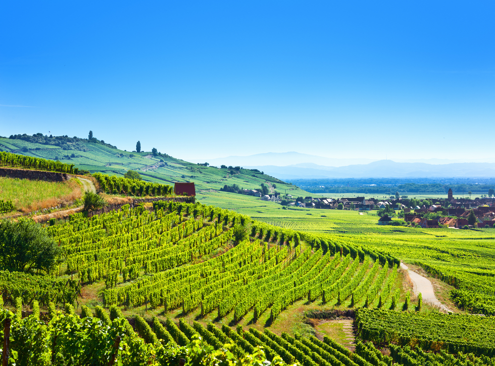
Land Use
Agricultural land: 52.7% (2018 est.)
Arable land: 33.4% (2018 est.)
Permanent crops: 1.8% (2018 est.)
Permanent pasture: 17.5% (2018 est.)
Forest: 29.2% (2018 est.)
Other: 18.1% (2018 est.)
Irrigated Land: 26,000 sq km (2012)
Total Renewable Water Resources
211 billion cubic meters (2017 est.)
Population Distribution
Much of the population is concentrated in the north and southeast; although there are many urban agglomerations throughout the country, Paris is by far the largest city, with Lyon ranked a distant second
Natural Hazards
Flooding; avalanches; midwinter windstorms; drought; forest fires in south near the Mediterranean
Notes
- Largest West European nation;
- Most major French rivers—the Meuse, Seine, Loire, Charente, Dordogne, and Garonne—flow northward or westward into the Atlantic Ocean, only the Rhone flows southward into the Mediterranean Sea
Article written for World Trade Press by CIA Factbook, Current as of 30 April, 2021.
Copyright © 1993—2024 World Trade Press. All rights reserved.